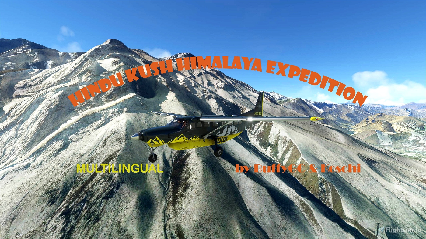
Hindu Kush Himalayan Expedition
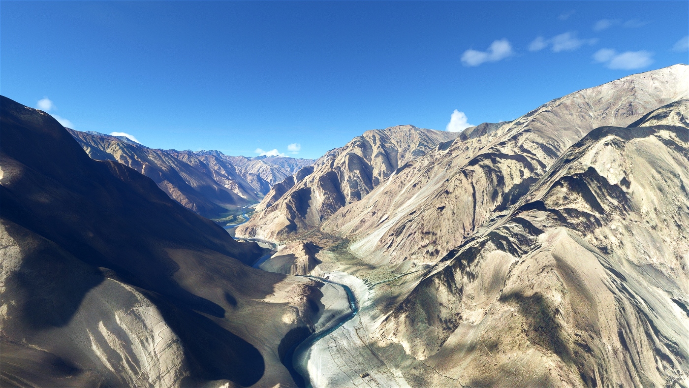
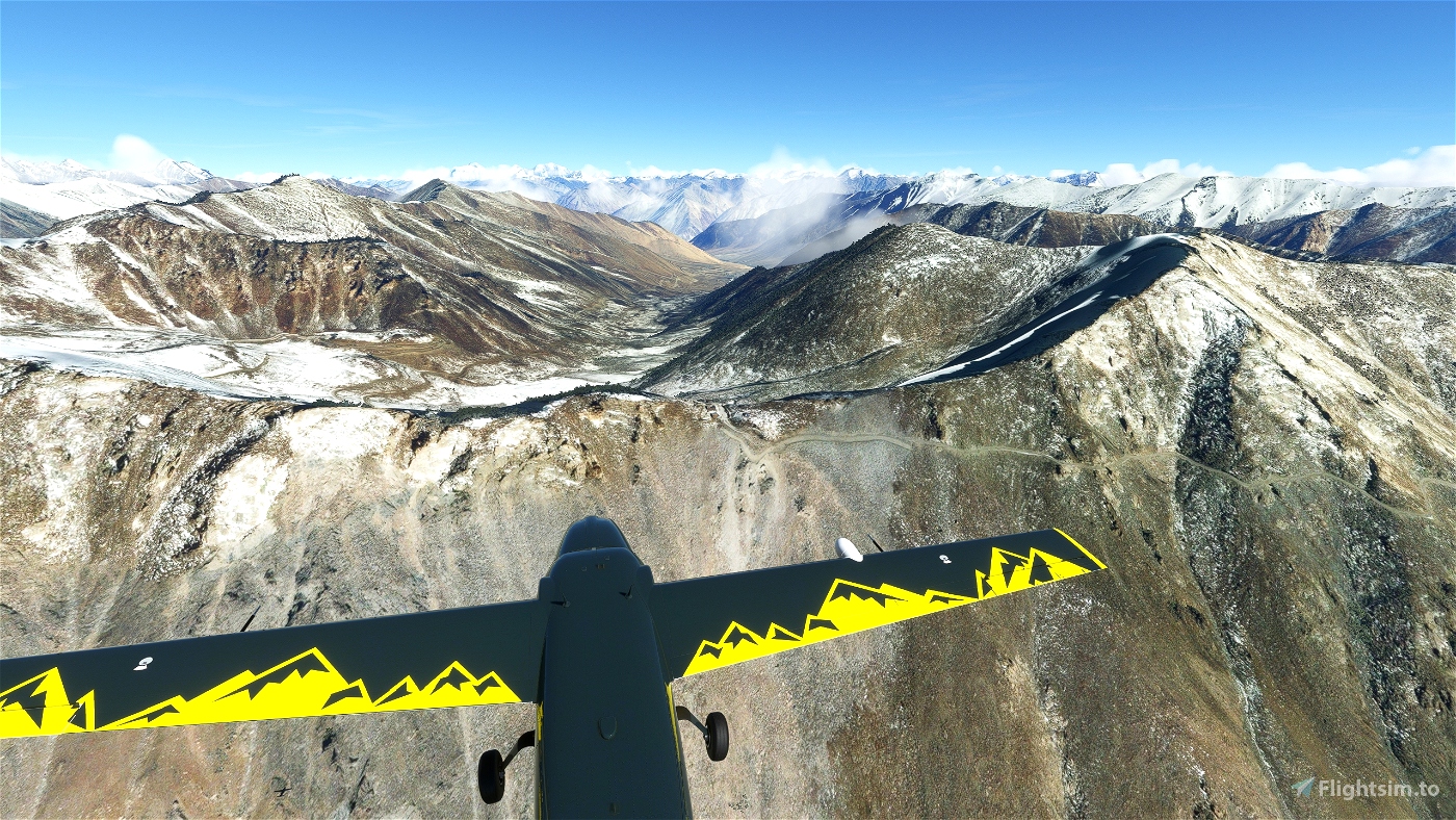
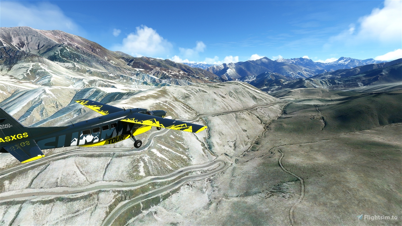
You will encounter two of the most formidable mountains on earth on this trip; the Hindu Kush and the western Himalayas.
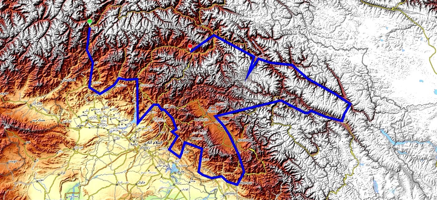
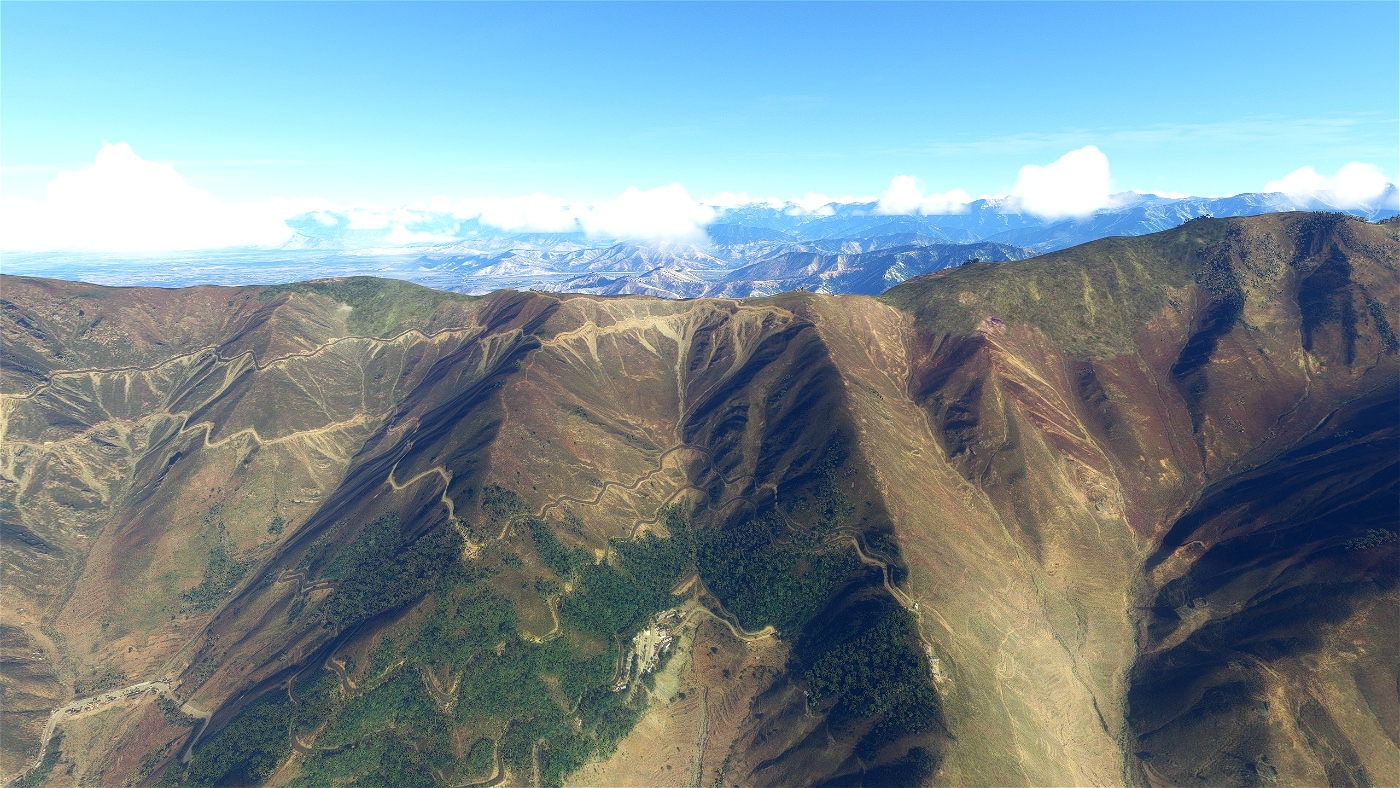
The Hindu Kush is mostly in Afghanistan, the eastern part with the highest peaks is in Pakistan. In the far east it runs along the Pakistani-Chinese border. The origin of the name Hindu Kush (translated: Hindu murderer) was traced and coined by the explorer Ibn Battūta (1304-1377) to the numerous Hindu slaves who perished in these mountains on their way from India to Turkestan. Originally, the name probably referred only to the mountain range north of Kabul.
The Himalayas are the highest mountains on earth. The name is derived from hima "snow" and alaya "place, abode", which means "where the snow dwells" and for many it is still called the abode of the gods because its peaks are inaccessible to most people.
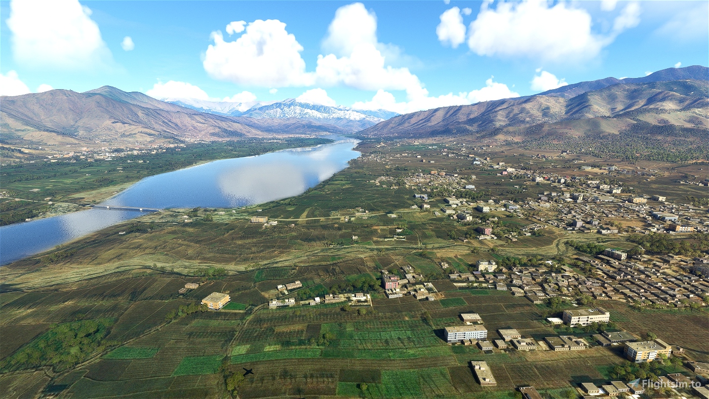
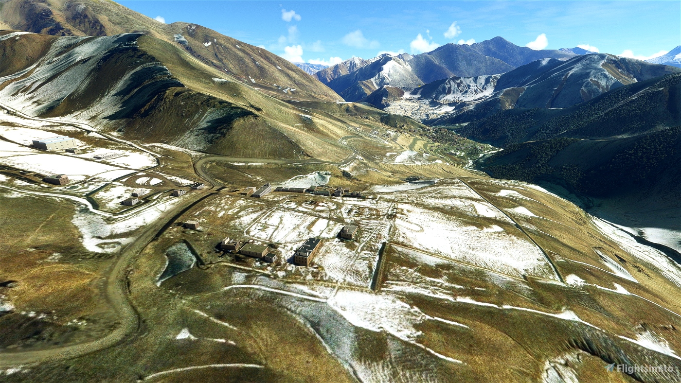
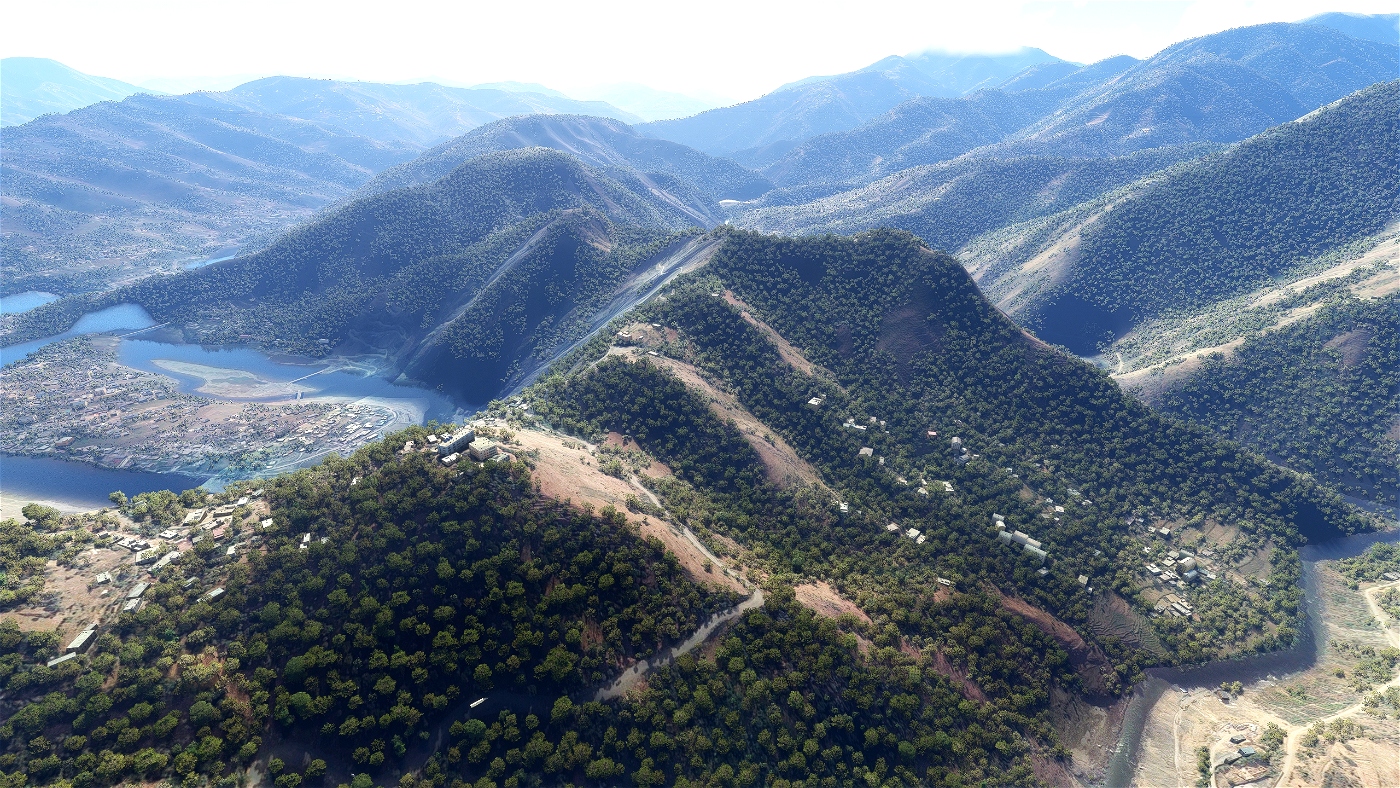
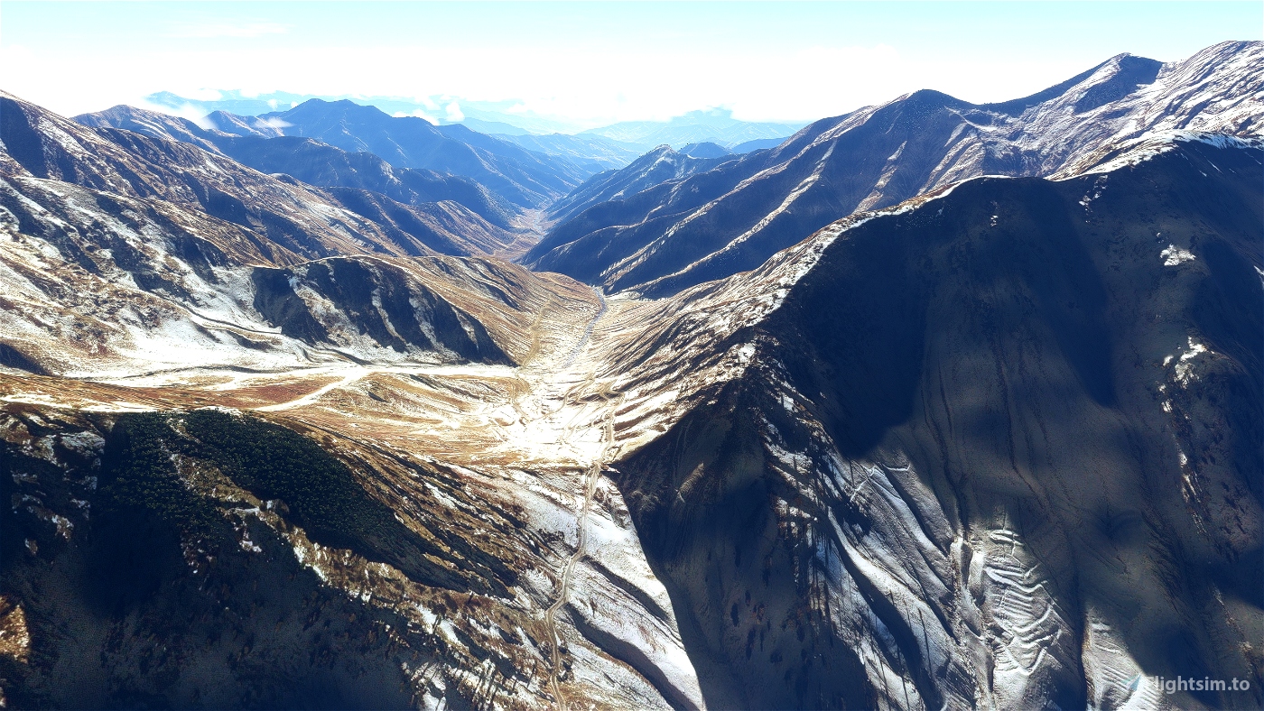
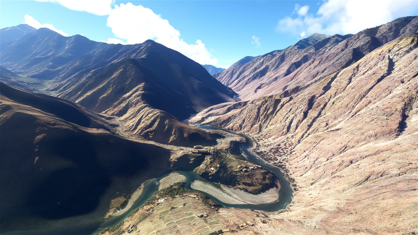
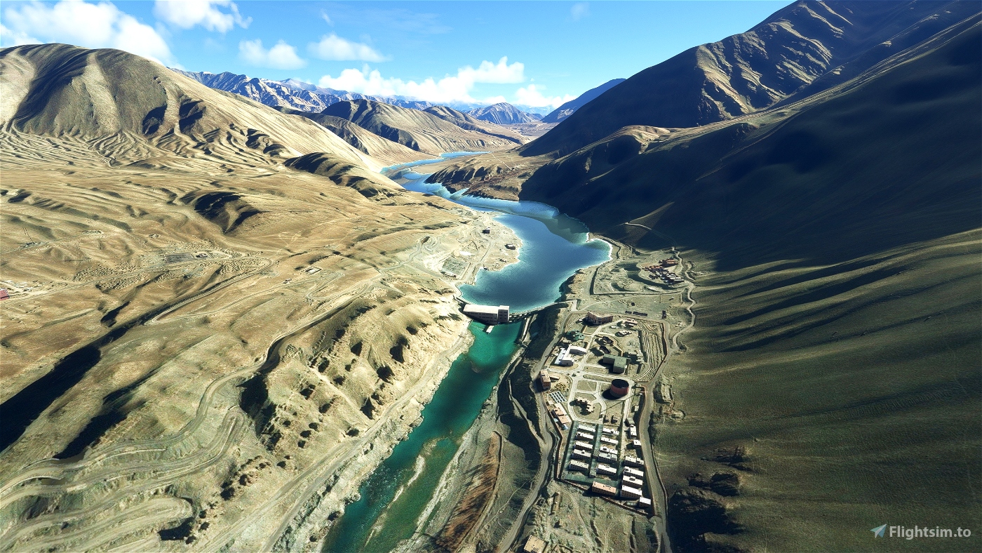
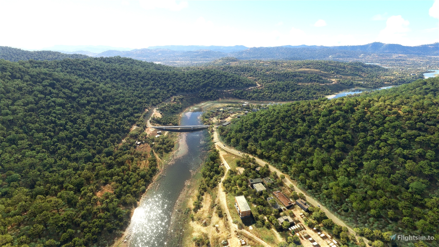
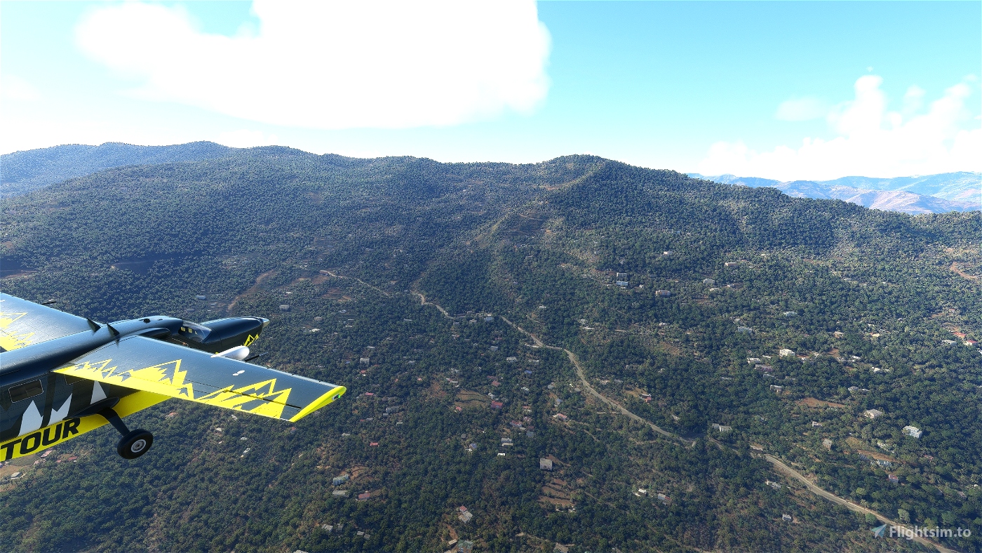
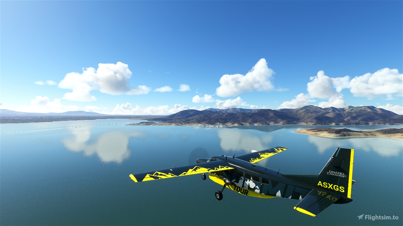
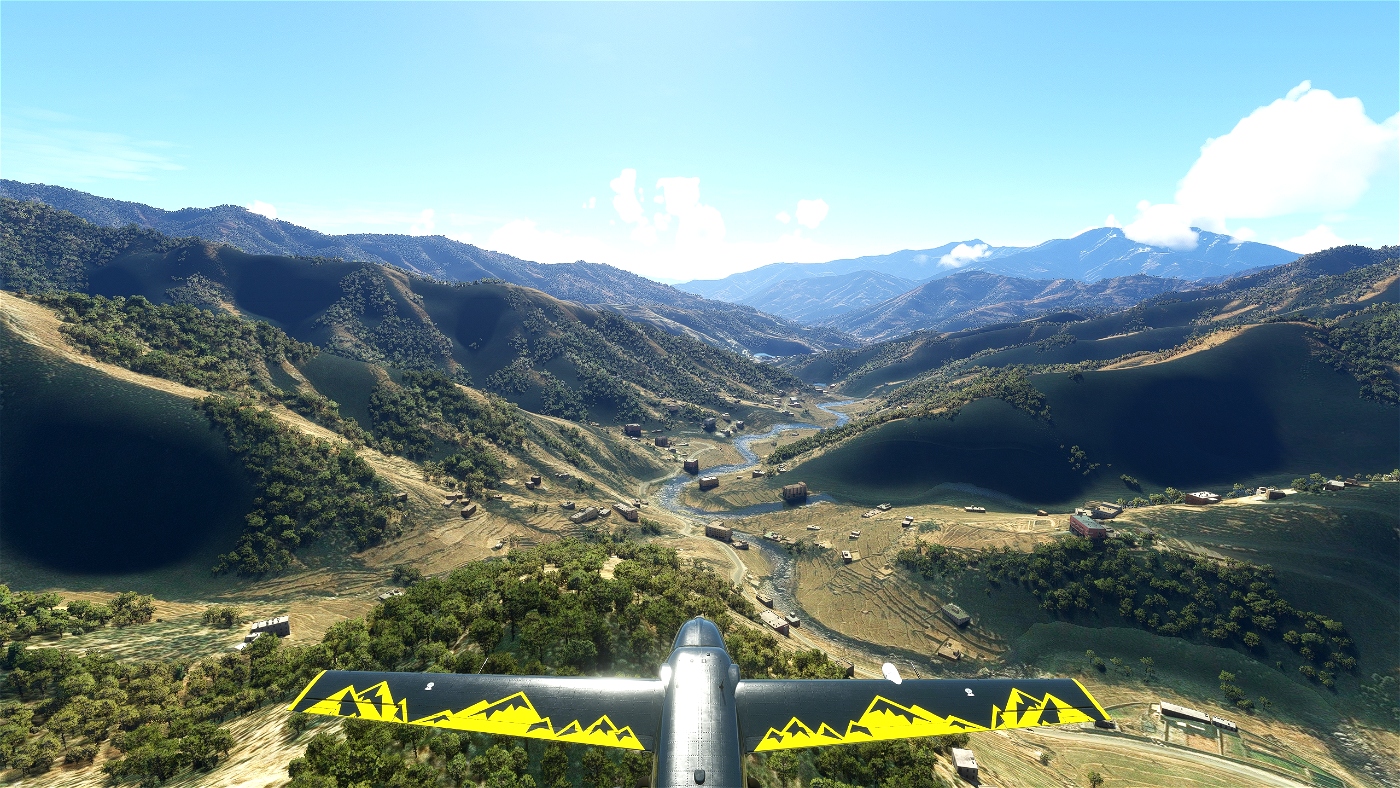
You will get to know mountains and valleys as they are found in their uniqueness only here. You will be introduced to the history of some places that is so different from the rest of the world. You will follow the sacred Indus River and visit plateaus where people and animals have to fight for survival every day. A journey through this landscape is guaranteed to be an unforgettable experience.
Have fun and always safe landings wishes you Koschi.
Specification:
- The whole trip leads with 10 stages over 915 NM.
- You will fly with a Cessna 208B Grand Caravan. The airplane can be exchanged with some manual work, see exchange file. Alternatively you can use the MissionChanger from BuffyGC.
- MULTILINGUAL: The trip is machine translated into all MSFS languages except Chinese and Japanese. Therefore, there may be errors in the translation. If you know a better translation, please send it to me. The basic language is German.
- This is a pure VFR flight. There is no GPS heading. So follow the instructions in the navlog. An appropriate map is absolutely necessary. We will leave you alone with your aircraft and the breathtaking scenery for 50-80 NM. If you follow the navigation instructions, you will find your way. The trip has a medium level of difficulty.
- The weather is freely selectable. Live weather is preset.
- The refueling button is only displayed on airfields with refueling stations. So always make sure you have enough gas in your tank.
- Use ATC if you like.
- The HUD can be turned off in the settings.
Created from an idea and with the BushtripInjector from BuffyGC.
Hindukusch-Himalaya-Expedition
Gleich zwei der gewaltigsten Gebirge dieser Erde werden dir auf dieser Reise begegnen; der Hindukusch und der Westen des Himalaja.
Der Hindukusch liegt größtenteils in Afghanistan, der östliche Teil mit den höchsten Gipfeln liegt in Pakistan. Im äußersten Osten verläuft er entlang der pakistanisch-chinesischen Grenze. Die Herkunft des Namens Hindukusch (übersetzt: Hindu-Mörder) wurde von dem Forschungsreisenden Ibn Battūta (1304–1377) auf die zahlreichen Hindu-Sklaven zurückgeführt und geprägt, die auf ihrem Weg von Indien nach Turkestan in diesen Bergen ums Leben kamen. Ursprünglich bezog sich der Name wohl nur auf die Bergkette nördlich von Kabul.
Der Himalaja ist das höchste Gebirge der Erde. Der Name ist abgeleitet von hima „Schnee“ und alaya „Ort, Wohnsitz“, was bedeutet „wo der Schnee wohnt“ und bei vielen wird er bis heute als Wohnsitz der Götter bezeichnet, da seine Gipfel für die meisten Menschen unerreichbar sind.
Du wirst Berge und Täler kennenlernen, wie sie in ihrer Einzigartigkeit nur hier zu finden sind. Du wirst mit der Historie einiger Orte bekannt gemacht, die so anders ist, als der Rest der Welt. Du wirst dem heiligen Fluss Indus folgen und Hochebenen besuchen, auf denen Mensch und Tier täglich ums Überleben kämpfen müssen. Eine Reise durch diese Landschaft wird garantiert zu einem unvergesslichen Erlebnis.
Viel Freude dabei und immer sichere Landungen wünscht Euch Koschi.
Spezifikation:
- Der gesamte Trip führt mit 10 Etappen über 915 NM.
- Du fliegst mit einer Cessna 208B Grand Caravan. Das Flugzeug ist mit etwas Handarbeit austauschbar, siehe Exchange-Datei. Alternativ gibt es dazu auch den MissionChanger von BuffyGC.
- MULTILINGUAL: Der Trip ist in alle Sprachen des MSFS maschinell übersetzt, außer chinesisch und japanisch. Daher können in der Übersetzung Fehler auftreten. Wer eine bessere Übersetzung weiß, kann sie mir bitte schicken. Die grundlegende Sprache ist Deutsch.
- Dies ist ein reiner VFR-Flug. Es gibt keinen GPS-Kurs. Folge also den Anweisungen im Navlog. Eine entsprechende Karte ist unbedingt erforderlich. Wir lassen Dich teilweise für 50-80 NM alleine mit Deinem Flugzeug und der atemberaubenden Landschaft. Hältst Du Dich an die Navigationsangabe, wirst Du Deinen Weg finden. Der Trip hat von daher einen mittleren Schwierigkeitsgrad.
- Das Wetter ist frei wählbar. Live-Wetter ist voreingestellt.
- Der Tanken-Button wird nur auf Flugplätzen mit Tankstelle angezeigt. Sorge also immer für genügend Benzin im Tank.
- Nutze ATC, wenn du magst.
- Das HUD lässt sich in den Einstellungen ausschalten.

 Koschi


Great, Tx!
1 years ago
Ginete
It was a pleasure working with you on this trip. I think a slightly different bush trip with navigational and avaitory difficulties, without much scripting.
But with a lot of sightseeing and historical information.
Contributor 2 years ago
BuffyGC