
Descrição
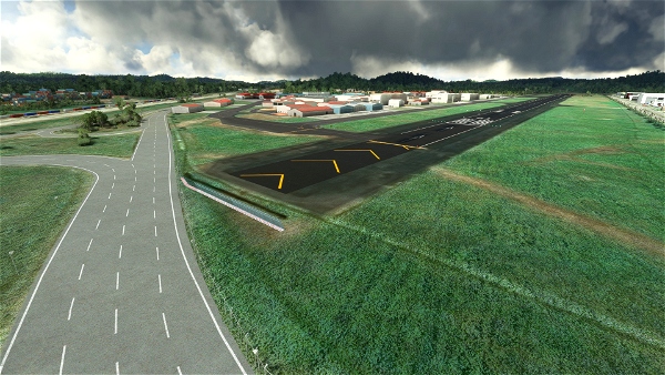
This airport has Panama City sprawling to the east and the Panama Canal to its west. At the end of RWY 01, there is a forested hill. On finals you will have two smaller hills on each side. Very nice scenery and a landing challenge. Also an excellent waypoint if you want to cross the natural divide between the north and south American continents by air. As in real life, you can't cross this stretch of land on wheels; and we're not in the business of boat-simming!
Wikipedia
Google Maps
Airports-Worldwide.com
UPDATE:
Dug up some photos we took in 2009.
Crosswind leg runway 36 (Google drive)
Short final rwy 36, #1 (Google drive)
Short final rwy 36, #2 (Google drive)
Other's photo credit:
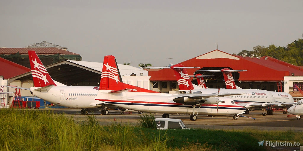
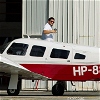
Air_Panama_aircraft_at_Albrook__Marcos_A._Gelabert__International_Airport.jpg
Bernal Saborio, CC BY-SA 2.0, via Wikimedia Commons
El_Puerto_visto_desde_el_Aeropuerto.jpg
Ssaucedoc, CC BY-SA 4.0, via Wikimedia Commons
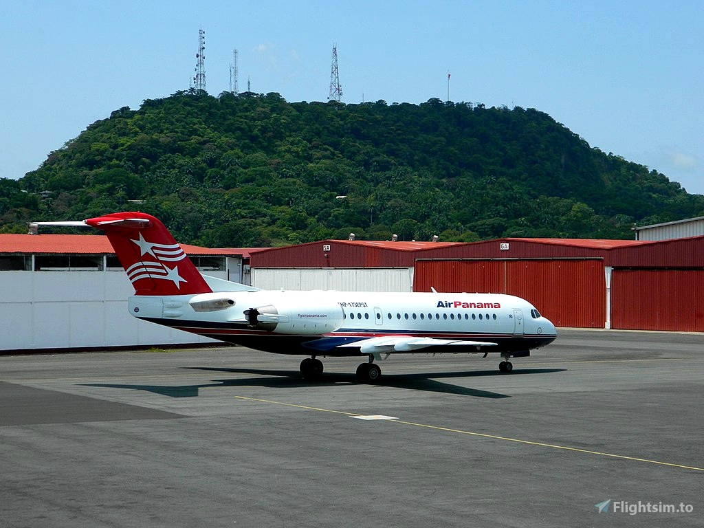
1024px-AirPanamaF70.jpg
Aeromar17, CC BY-SA 4.0, via Wikimedia Commons
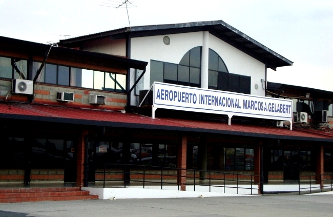
Aeropuerto_Marcos_A_Gelabert.jpg
BeanZull, CC BY-SA 3.0, via Wikimedia Commons


3 years ago
Glasmanet
3 years ago
Ungeneer