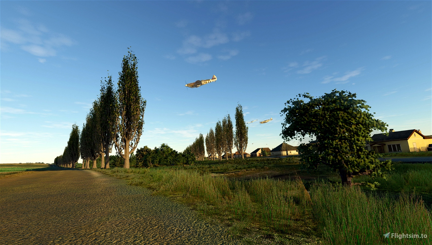


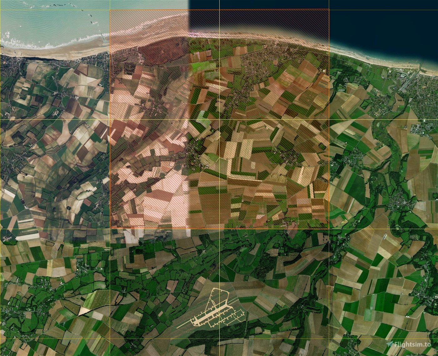


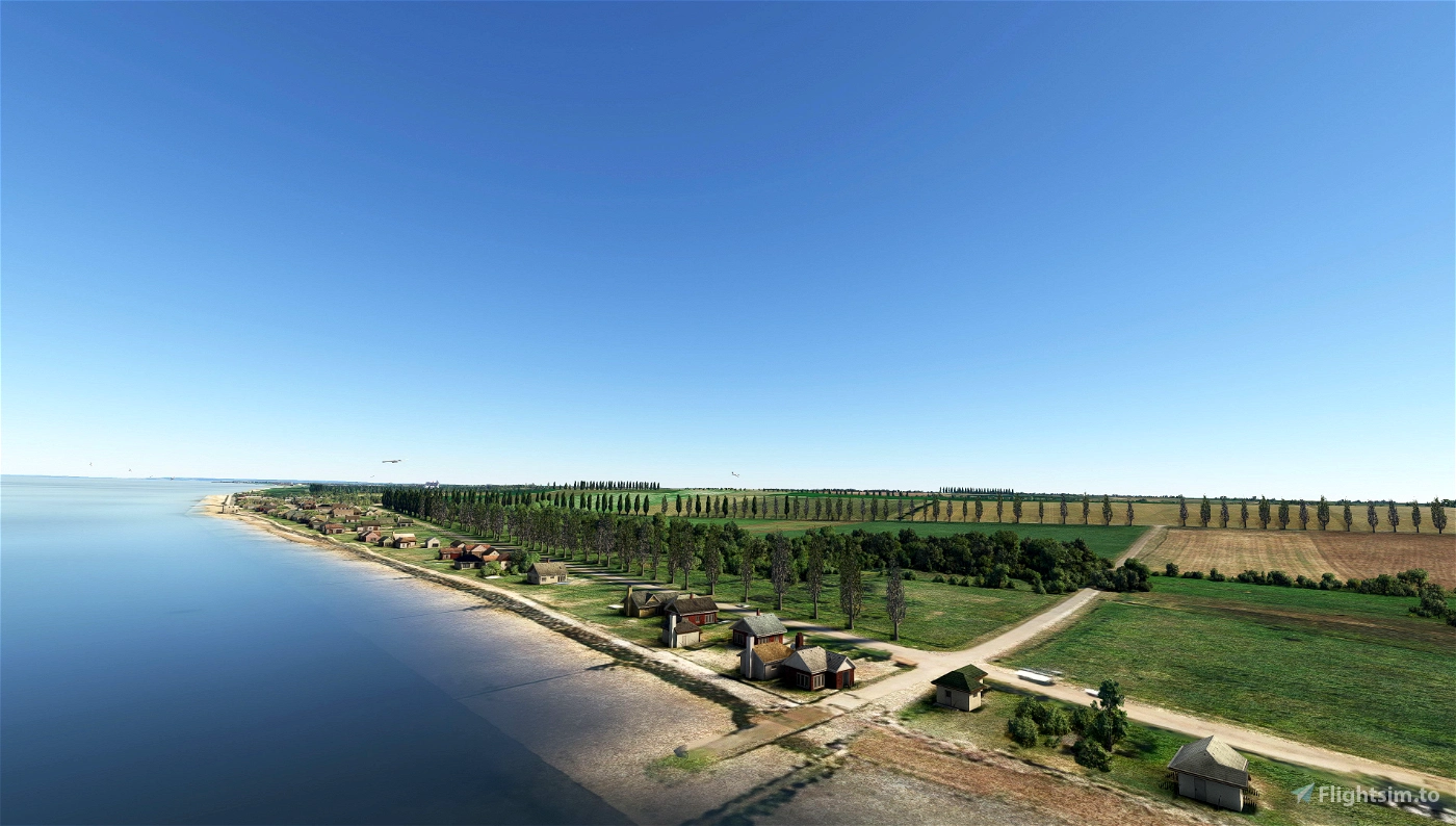


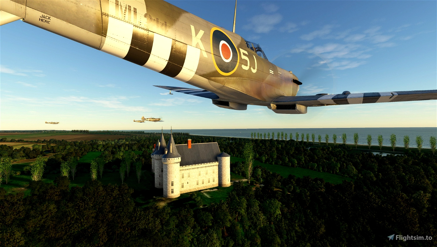


This is a «period rendition» of the Normandy landscape between the 'Advanced Airfield' LGB9 (addon by Miltech/Sundownersim on Marketplace and ORBX) and the Normandy Coast (Normandy Beach). It's adjacent to my B-9 surroundings and again covers a rectangular tile of 10x10km.
First a couple of important remarks
- the map is NOT historically accurate. It's a fictional rendition of the «se non è vero, è ben trovato» type.
- the scenery is far from perfect, it still has glitches - but it should improve your immersion on a big scale.
- Bing maps currently consist of two different generations, the eastern tiles being much brighter and of lesser quality. Maybe I had better taken Google maps, but that would have risen other issues.
Pretty much of what I said in my B-9 surroundings apply to this stretch of the map. Since that file is mandatory (it contains most of the essential assets, like poplars, birds, bioms etc.) you may (have) read my liner notes there and also may have most of the recommended addons installed.
This scenery does not contain any WWII specific objects. Actually, the only WWII objects of my B-9 surroundings are the vehicle convoys. So without the Sundowners LGB9 addon activated you have 200 sq kms of «1st half of the 20th century» Normandy map that you can use for any of your vintage aircraft, even the Blériot XI! The 'Onze' gives you full ten minutes flying time in every direction! ;-)
On the other hand, if you're into historic D-Day Normandy, it seems that pretty much every Normandy addon here works with mine.
The only one you should NOT USE is [France-]Normandy-VFR. It focuses on nowaday's landmarks and therefore, per definitionem, conflicts with my attempts for an historic scenery.
MANDATORY
- My historic scenery extension (period surroundings) for WWII airfield B-9 Antheuil, Normandy (contains custom poplar & bird modells)
HIGHLY RECOMMENDED
- BeeKay-Pack1 v5.0 (sub libs: animals & animated)
- SE_Lib, many building replacements with a more 'rural' type
- and, of course, WU IV with France
RECOMMENDED (but you may do without)
- NZQE Gorge River airstrip from WU XII (additional seagulls soaring out on the sea)
- Dave's 3D animals Library
- any tree resizer. However, some freeware tools may conflict with my own biome that removes excessive trees.
Do you use Map Enhancement? For an (almost) seamles integration into surrounding map tiles choose Bing maps latest.
Since this is a niche product, all comments are welcomed. It's also an open project. Anyone with some skills in either photo retouching or MSFS SDK can participate!

 deHavilland


4 days ago
2 days ago
deHavilland
Mjkohtz
1 months ago
chasensfo