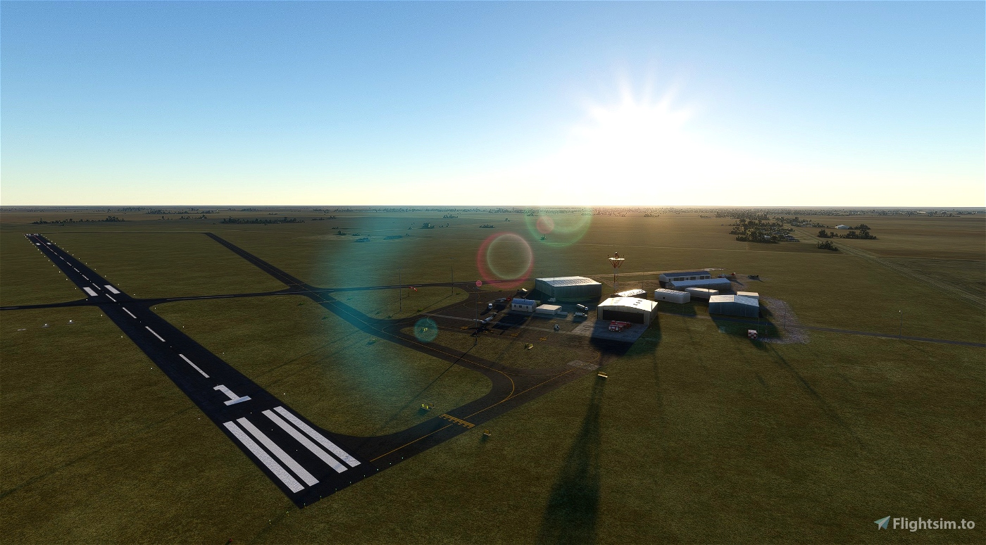


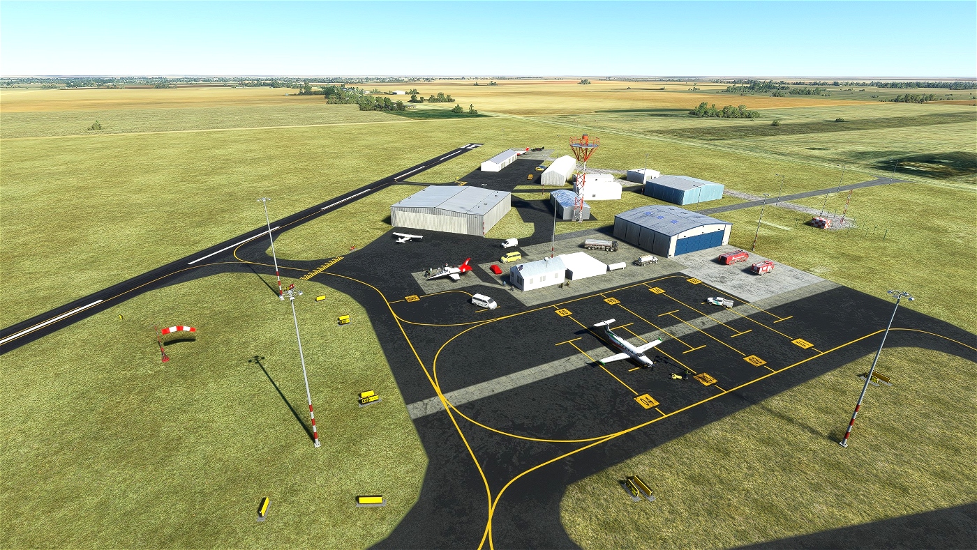
Littlefield Municipal Airport is a small airport in Texas, United States. The airport is located at latitude 33.92390 and longitude -102.38700. The airport has 2 runways: 1/19 and 13/31. TThe ICAO airport code for this field is KLIU. The other closest courses are Rose Ranch Airport and Muleshoe Municipal Airport.
Littlefield Municipal Airport does not publish METARs, the nearest weather station is Levelland Municipal Airport which is 22NM away. The Flight Information Region (FIR) is Ft Worth.
Location
FAA Identifier: LIU Lat/Long: 33.9239442,-102.3866738 Elevation: 3615.6 ft. / 1102.0m Variations: 07E (2015)
Runways 1/19
Dimensions: 4021 x 60 ft. / 1226 x 18m Surface: asphalt, in fair condition Weight bearing capacity: Single wheels: 12.0 Runway edge lights: medium intensity
Runways 13/31
Dimensions: 2513 x 40 ft. / 766 x 12m Surface: asphalt, in good condition Weight bearing capacity: Single wheels: 5.0
Airport communications
CTAF/UNICOM: 122.8 LUBBOCK APPROACH: 119.2 119.9 LUBBOCK DEPARTURE: 119.2 119.9
Nearby radio navigation aids
VOR radial/distance VOR name Freq
LBB 288/27.0 LUBBOCK VORTAC 109.20
PVW 241/31.2 PLAINVIEW VOR/DME 112.90
IAPs - Instrument Approach Procedures
RNAV (GPS) RWY 01
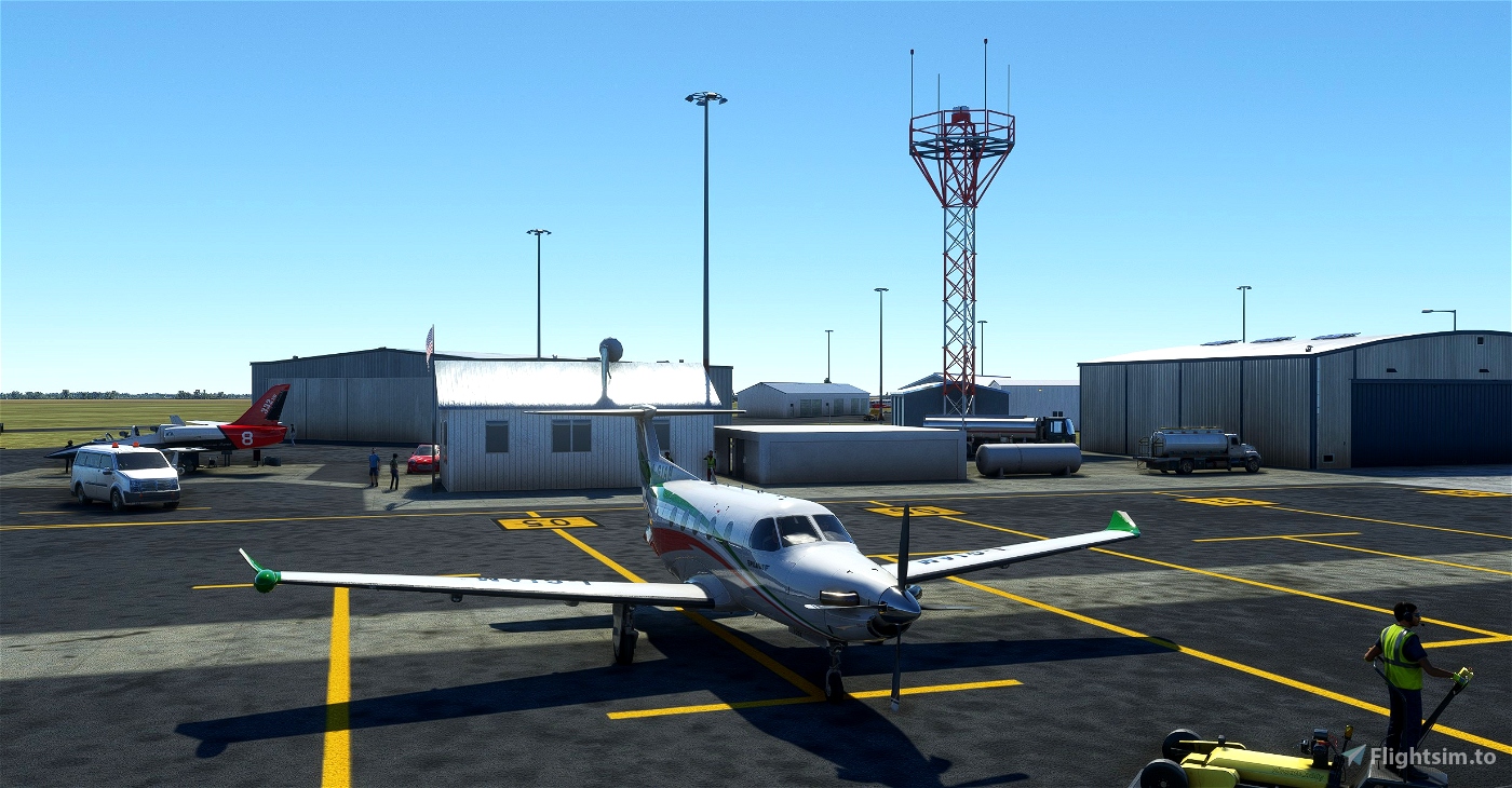
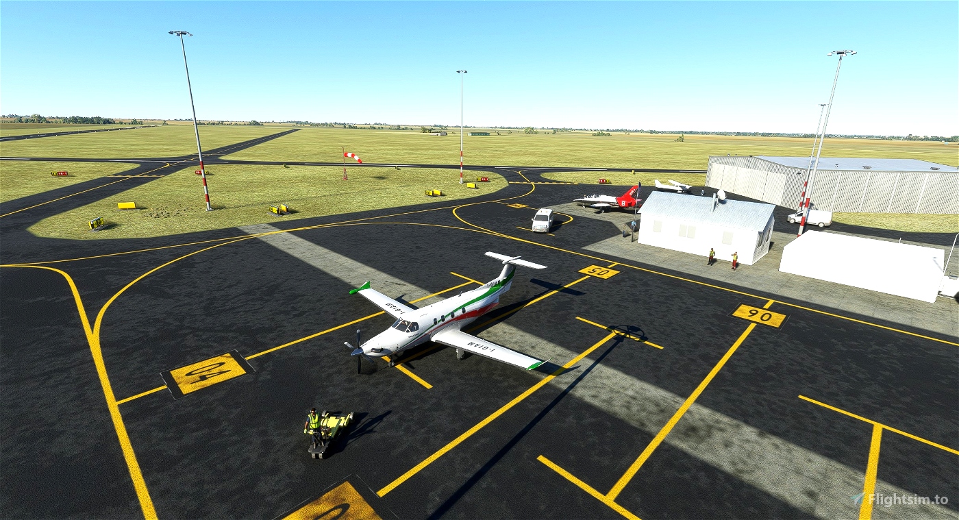
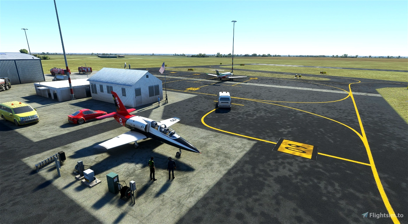
I wanted to dress up this airport in Texas a bit, as it was very sparse in the original edition. The houses and structures are those of the SDKs as I have not found any photos or material related to this airport. I have arbitrarily numbered the taxiways and car parks because the charts do not contain this information.
I don't mind my Texan friends, on the contrary, if someone is around and would like to send some photographic material I would be happy to faithfully create the models of the structures.
Littlefield Municipal Airport è un piccolo aeroporto in Texas, Stati Uniti. L'aeroporto si trova alla latitudine 33,92390 e alla longitudine -102,38700. L'aeroporto ha 2 piste: 1/19 e 13/31. Il codice aeroportuale ICAO di questo campo è KLIU. Gli altri campi più vicini sono Rose Ranch Airport e Muleshoe Municipal Airport.
Littlefield Municipal Airport non pubblica METAR, la stazione meteorologica più vicina è Levelland Municipal Airport, che dista 22 NM. La regione delle informazioni sui voli (FIR) è Ft Worth.
Ho voluto vestire un pò questo aeroporto nel Texas, in quanto molto scarno nella edizione originale. Le case e le strutture sono quelle delle SDK in quanto non ho trovato nessuna foto o materiale relative a questo aeroporto. Arbitrariamente ho numerato le Taxiway e i Parcheggi perchè le Charts non contengono queste informazioni.Non me ne vogliano gli amici Texani, anzi, se qualcuno è nei dintorni e volesse inviare del materiale fotografico sarei ben felice di realizzare fedelmente i modelli delle strutture.


25 days ago
flydog_studios