


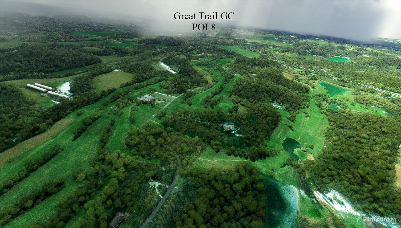


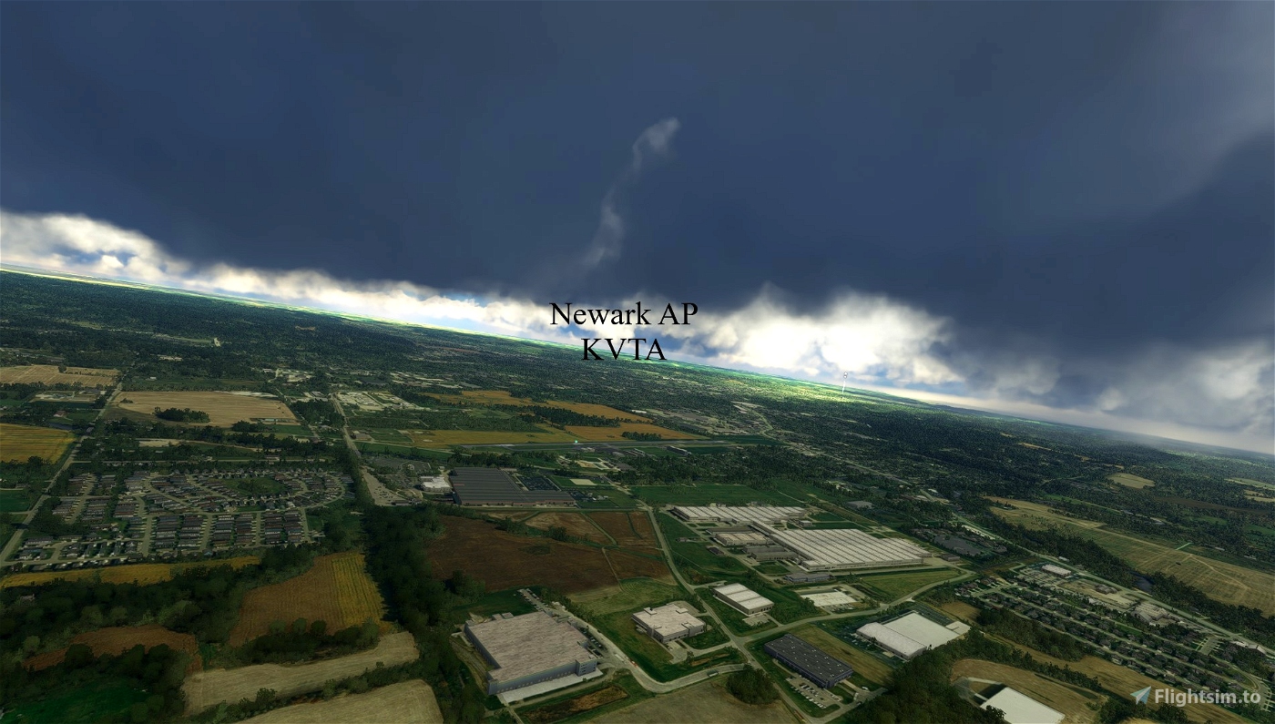
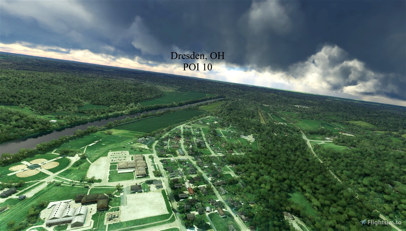


The Ohio Tour Trip is a trip of the Eastern side of the State of Ohio. The journey begins in Cuyahoga County at the Cuyahoga County Airport, and ends in Huntington, West Virginia located on the Ohio River bordering Ohio, Kentucky and West Virginia. There are seven (7) legs to the trip. You will fly over high schools, academies and colleges as well as some airports and cities (villages) of Ohio. For the most part you will see the countryside of Ohio. Ohio is an agricultural state so you will see plenty of farms and Coops along the way. Ohio is rich with lakes, ponds, rivers and streams and most of the eastern part of the state are home to the foothills of the Appalachian mountains.
HINT: To complete a leg, you MUST set the PARKING BRAKE! You can use the Garmin 1000 throughout the trip. I have discovered that when you complete a leg and have set the parking brake to conclude the leg, do not quit to the main menu. Instead, hit continue to go back to the airport you just landed at. Wait for the computer to load the necesary files and your GPS track will reappear on your Garmin 1000. You can then escape (ESC) and go to the main menu. The next time you fly this Bushtrip, you will be taken to the leg you just ended and the GPS will reset for the rest of your journey. Do this at the end of each leg to keep the GPS tracking.
Garmin NXI needs to be installed.
Enjoy the beautiful sights of Eastern Ohio.
William Rayer

 wfrayer

