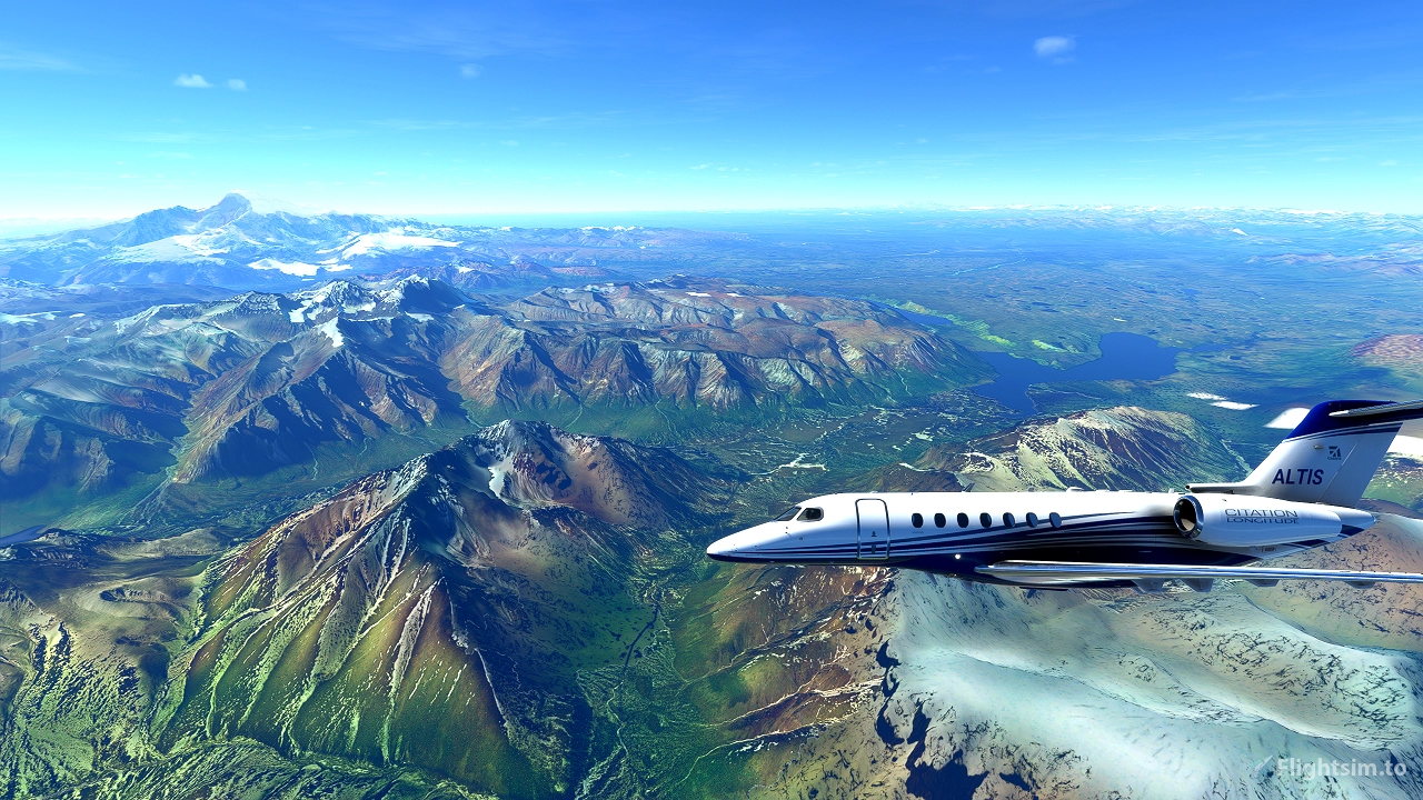

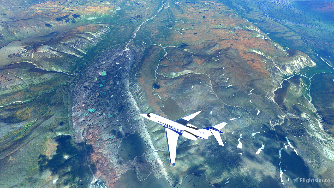
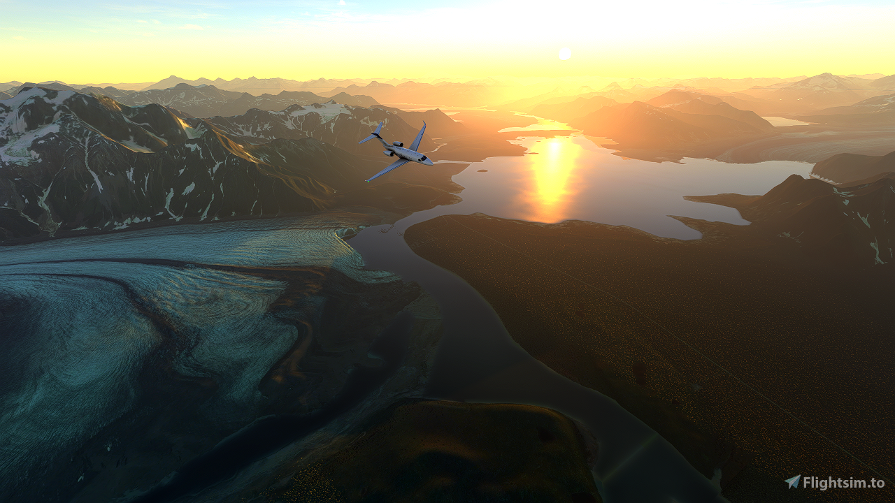
I highly recommend installing Baddweapon's terrain fix for Alaska as an add-on for this flight.
----
Hello!
I host a live stream and fly-in (Twitch / Discord) every week where we explore the National Parks together!
Before the stream, I research the park and help improve the park's Wikipedia pages. I also make a flight plan to showcase the park highlights and in case others want to fly along with me.
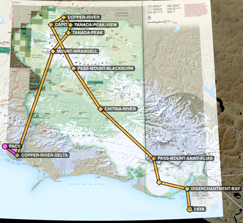
In the zip file you'll find:
- The .pln file with named waypoints (load this from the World Map screen of MSFS 2020)
- Relevant park map(s)
- A screenshot of where this flight plan goes relative to the park map
- MBTiles file(s) in case you have Foreflight or another app which supports these (this is how I overlay the flight plan and the park map when I fly around)
- ForeFlight .fpl file which matches the .pln in case you prefer ForeFlight (consider using a tool like Flight-Events as a GPS/AHRS device)
All the best,
Jules
P.s. I highly recommend pulling up Wikipedia or Bushtalk Radio while you explore.
----
Updates:
v1.6 - Upgraded MapTiler to remove MBTiles watermark
v1.5 - Tested to confirm autopilot usability, and includes suggested autopilot settings
v1.4 - Includes suggested plane, weather, and liftoff time
v1.3 - Includes ForeFlight .fpl file (matches the .pln file)
v1.2 - Includes full-sized park map for easy reference
v1.1 - Waypoints in .pln are named
v1.0 - .pln, screenshot, and MBTiles

 JulesAltis

