
Obsolete: With world update 6 this package has become largely obsolete and you should remove it from your community folder. I'll leave it here for the moment for potential niche applications (italian alps, lightweight offline mesh, ...?)
When/if I take this further, there will be a new showcase area.
------------------------------------------------------
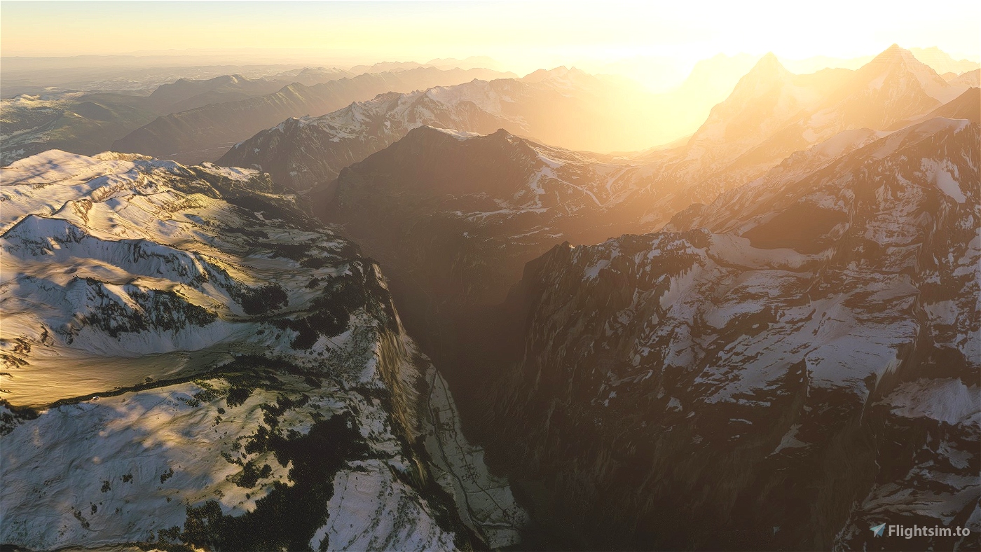
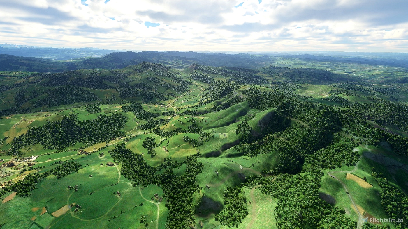
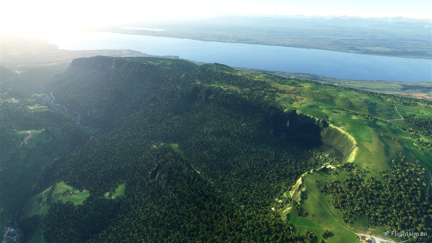
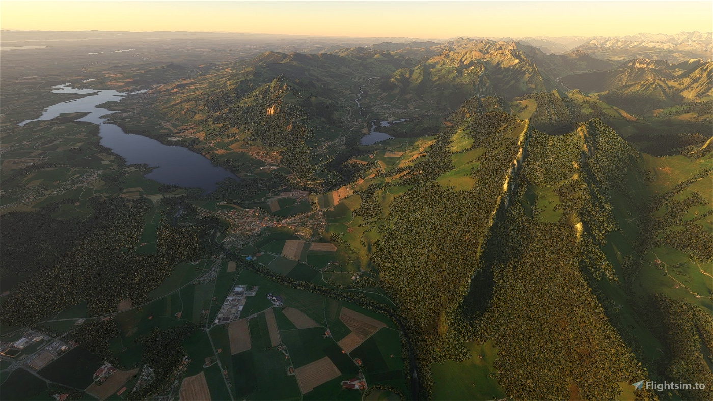
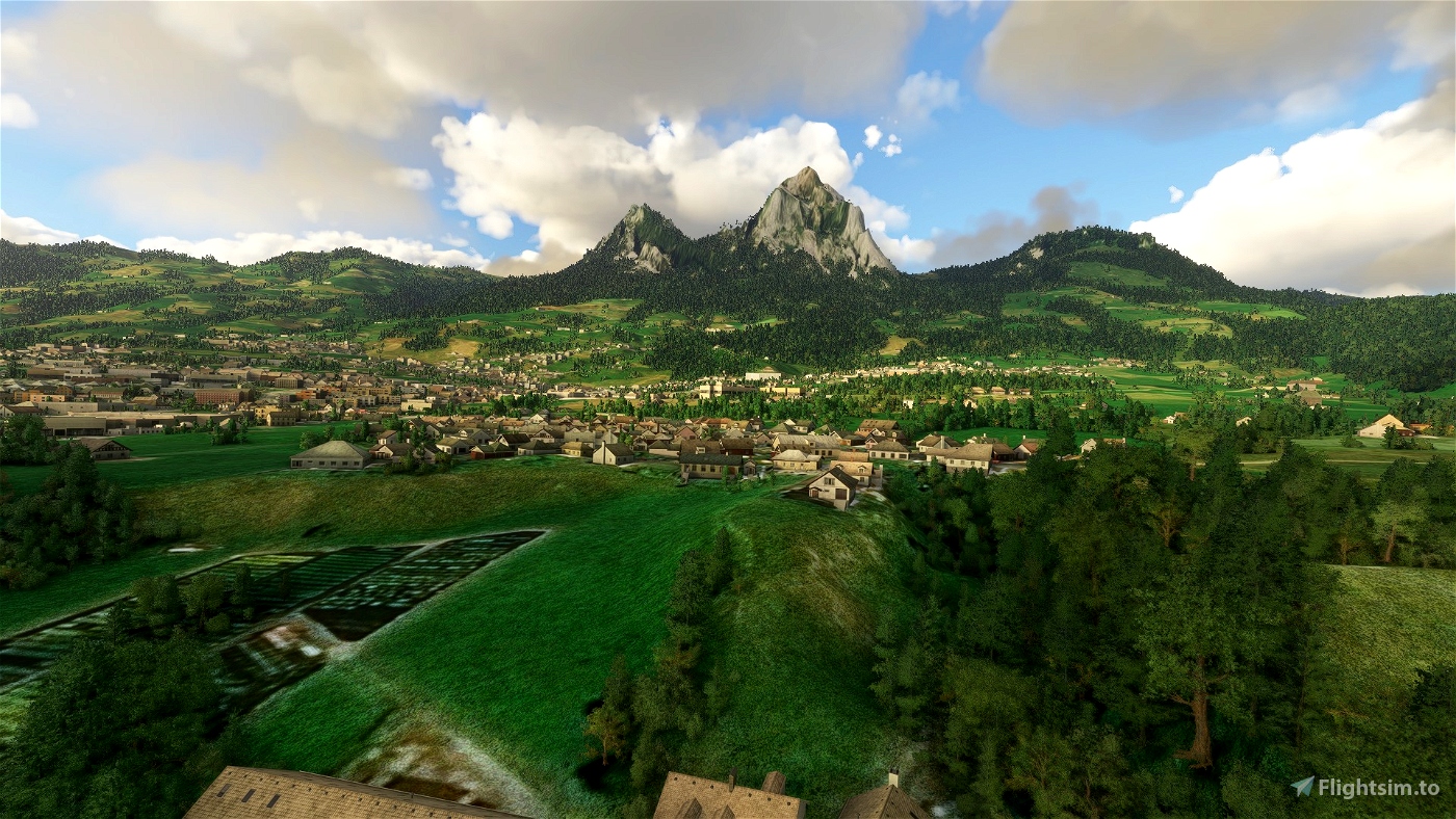
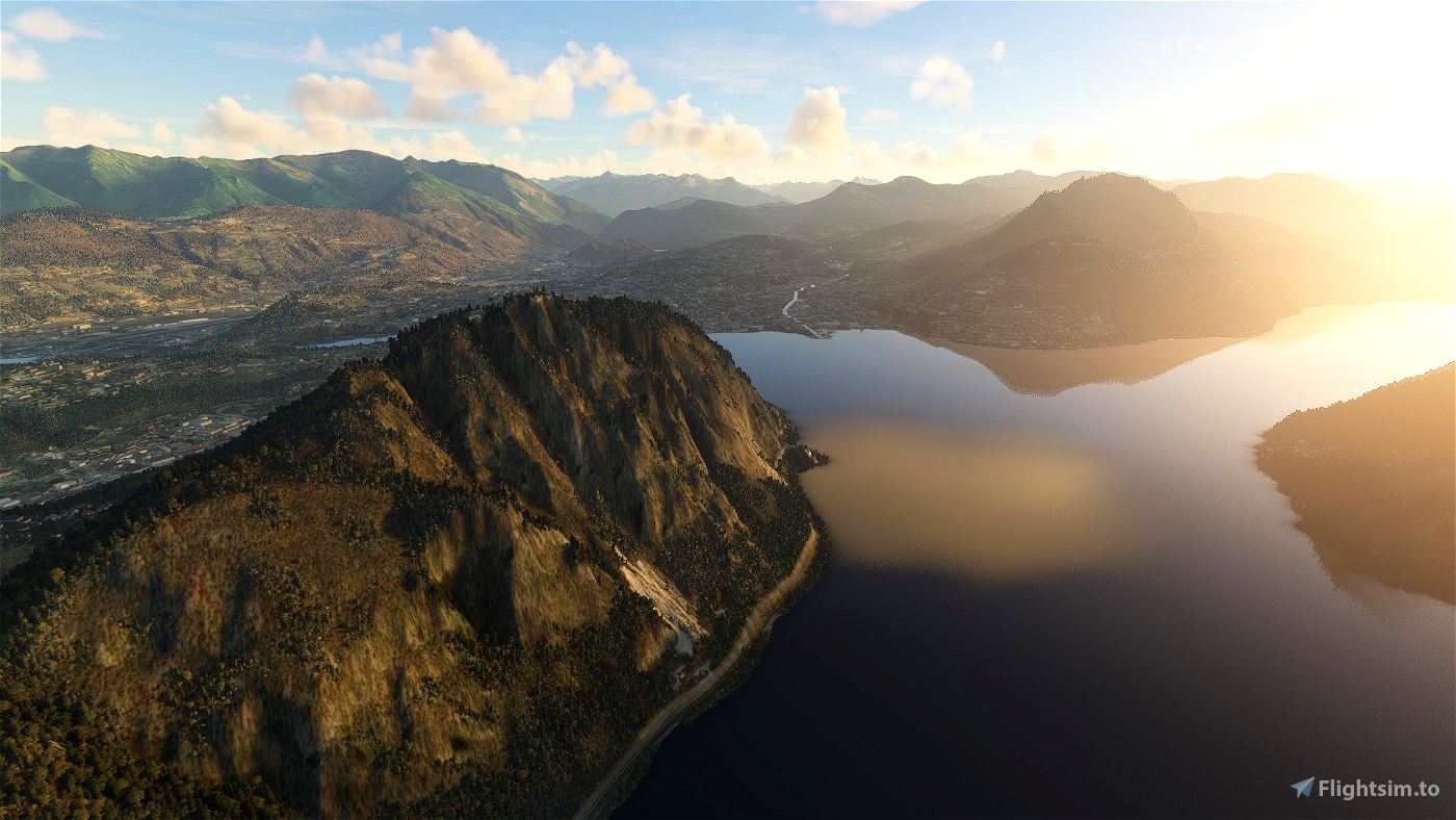
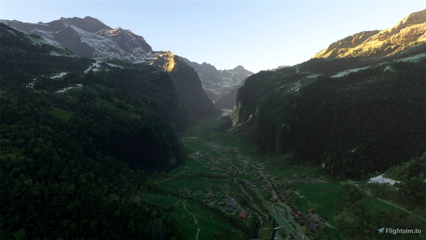
Experimental CGL tile for switzerland (120221)
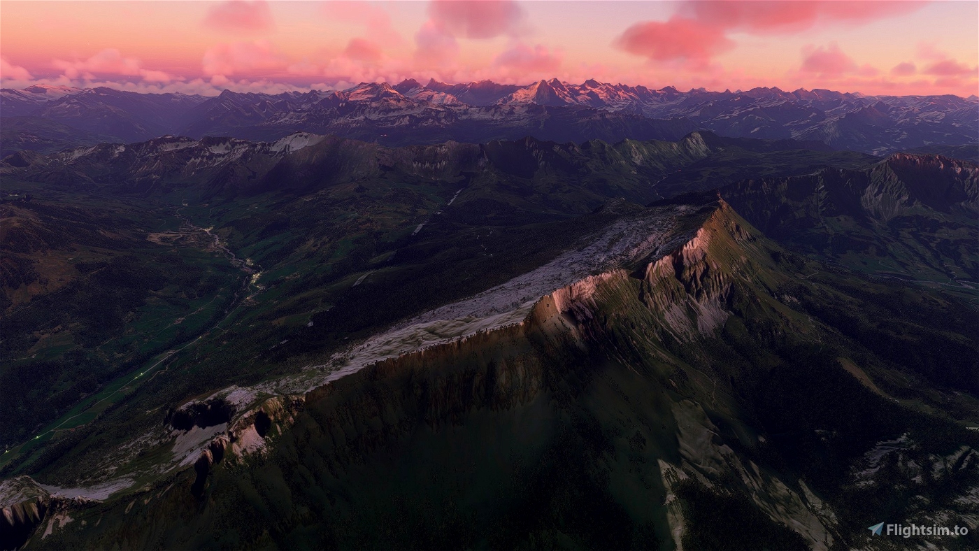
Another mesh covering switzerland and parts of its surrounding countries. This is released mostly as a showcase but also because I think it might be good enough for some people to use now - I don't want to sit on it forever.
We would be very interested in any feedback (problems, quirks, observations) to help us understand the (undocumented) CGL format better. Also see "known issues" below.
What is it?
It's an elevation mesh in the CGL format.
What area does it cover?
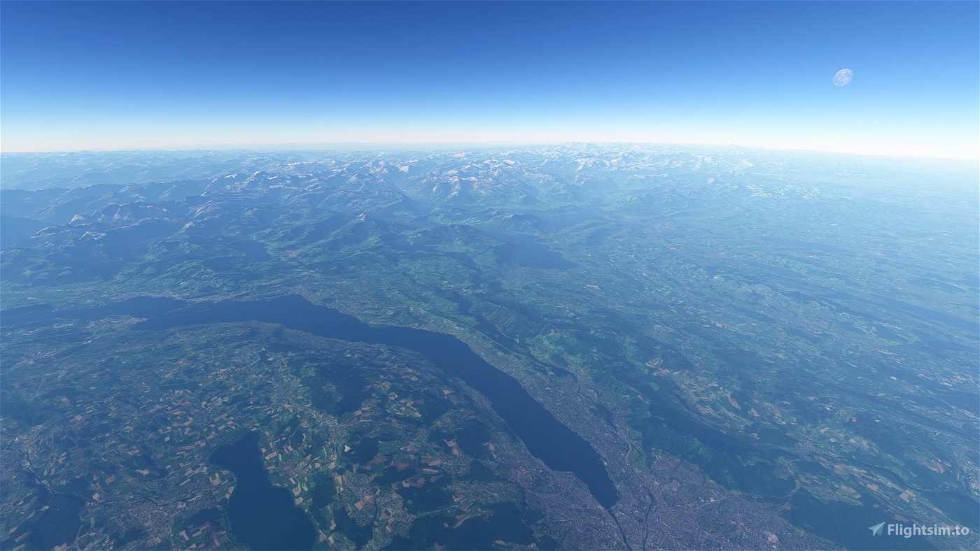
A CGL file has to cover a whole level 6 quad tile. As switzerland fits neatly into one of these tiles this package contains only one CGL file (quad 120221). This tile extends quite a bit into the neighboring countries in the north and the south.
What's the difference to all those other meshes popping up lately?
As far as I'm aware, apart from ItalyDEM (by Sprighlyoldman) and "DEM for Finland" (by muumimorko) all other so called "mesh" sceneries are based on a technique using grids of terraforming heightmaps. While a CGL replaces the original base mesh heightmaps are just modifiers of the base mesh.
Is there a problem with the heightmap technique?
The story here is that there exists a freeware tool now that makes it relatively easy for anyone to create those heightmap sceneries. The problem is, that these heightmaps were not intended for large scale mesh work so there are a few issues (not optimized for memory - both meshes are loaded, not optimized for runtime, for some people artefacts appear where the base mesh doesn't get transformed in time, interference with terraforming of other sceneries - therefore these meshes need to have "holes" to allow for other sceneries to exist properly.
Are CGLs the perfect solution then?
In theory yes - it's the format that has been engineered for large scale mesh work. In practice there is the main issue that the format is undocumented and needs to be reverse engineered (almost all of this is courtesy of muumimorko). There are no ready made polished tools for CGL generation - so the process is quite a bit more involved. A few things are still not properly understood.
Is there any risk using the CGL sceneries?
Well, it's experimental. If you have problems with it just delete it. In the hundreds of times I have loaded various incarnations of test meshes I think I never had a crash or even unexpected/inexplicable behaviour (beyond the bits that are not understood yet).
What's the difference to the same tile contained in the ItalyDEM scenery?
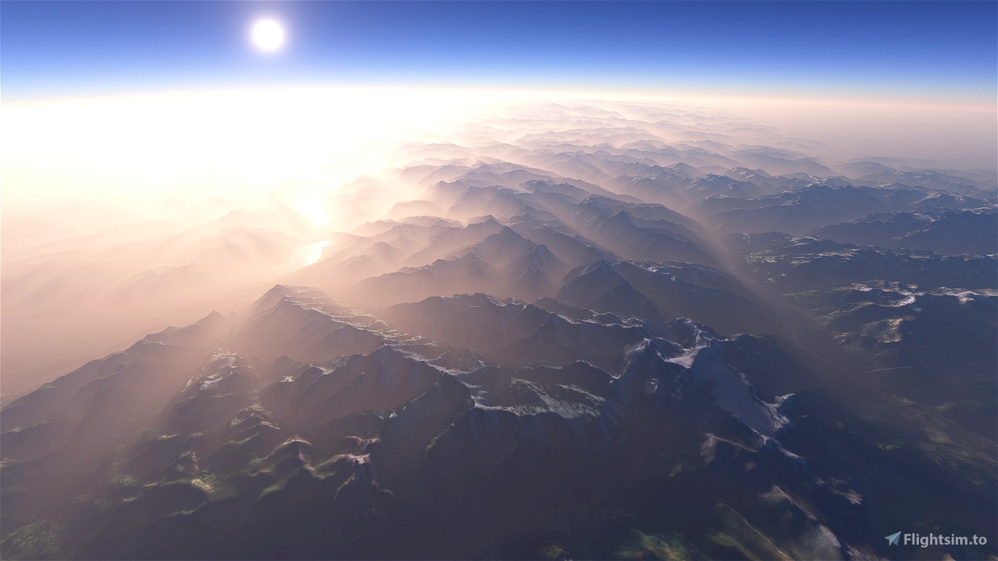
ItalyDEM (as of now) was created with an old version of the tools by muumimorko which blurred the lower LODs - with the effect, that the high detail is only visible from close up. The mountains get more and more flattened the further away they are.
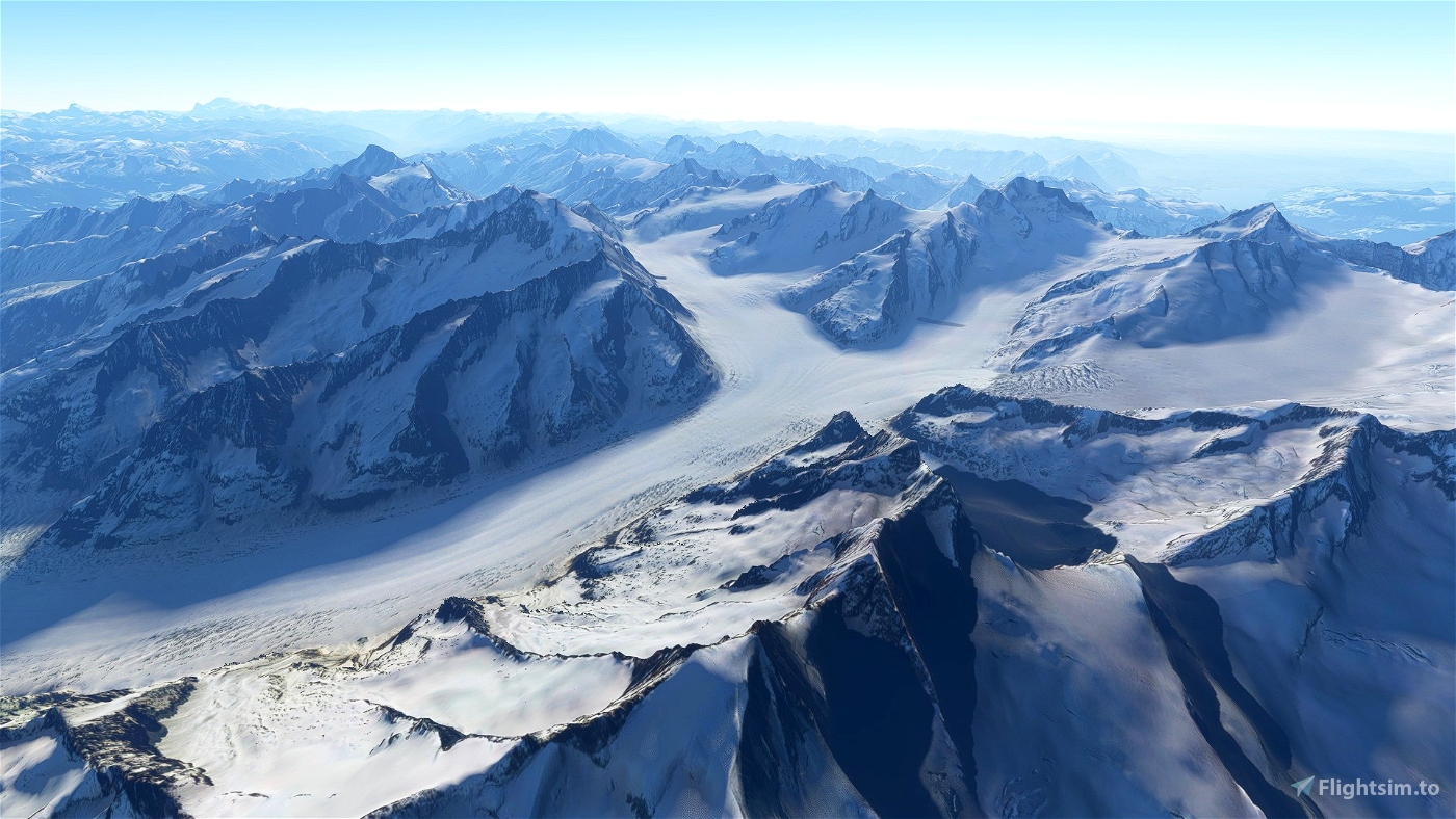
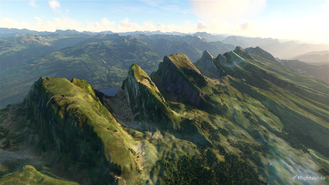
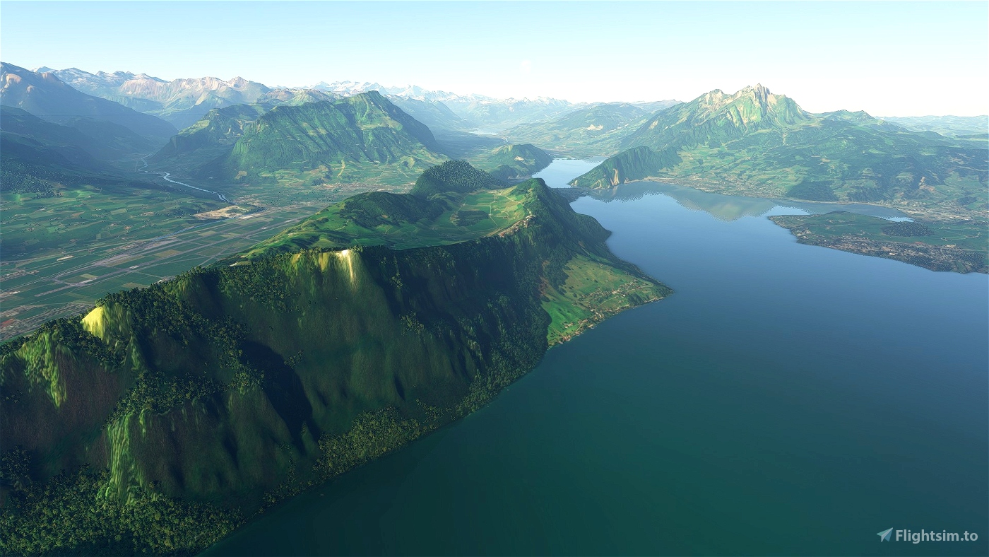
This scenery is completely redone using my own tools and better DEM sources (SwissAlti3D for Switzerland). Downsampling the lower LODs has been improved (no more flattening) and the resolution has been increased by one level (~13m).
Can it coexist with ItalyDEM (which contains the same tile)?
Looks like it.
Can it coexist with heightmap based sceneries?
There's no reason why it shouldn't work as the two work on different levels (heightmap overrides base mesh).
What's the future?
Higher resolutions, including better DEM sources, mixed resolution/adaptive pruning of unnecessary LOD tiles, better downsampling algorithms ....
There's plenty to do and so little time.
What's the far future?
Once microsoft streams the whole world in high resolution from their servers all this will be obsolete. Tomorrow? No.
A note to airport/scenery designers:
It's most likely not this scenery's fault if it messes up your airport. Rather, you could use this as an indicator that your airport is not future proof and will also misbehave with a future world update which includes the swiss territory. In which case you could make use of this CGL to help you fix it.
Proposed approach to make an airport look good and be compatible with the current low quality mesh, a future high quality mesh, this CGL and heightmap-meshes:
- create a heightmap (using the nool tool and the swissAlti3d DEM) for roughly the perimeter of your scenery. This will bake in the correct terrain with your scenery. Consider replacing your existing flattening polygons with such heightmaps, because totally flat airports are totally unrealistic and totally boring. Don't bother with extreme resolutions for the heightmap, because heightmaps can only influence the mesh up to a certain level (I think LOD22 / 6.5m - but probably depending on the resolution of the base mesh).
- if necessary apply further terraforming on top of this
- if you want your scenery to be compatible with large scale heightmap-based sceneries adjust the priority of your terraforming elements to be higher than what they use (which level?).
Technical:
- LOD13/21 CGL mesh (~13m resolution at these latitudes)
- Generated with my own tools (nowhere near good enough for anyone else to use at the moment)
Known issues:
- Doesn't align well with the next tile at the northern edge. Not sure why yet.
- Around the italian border there seem to be some small areas that are not claimed by either country (pinholes in the scenery - mainly to france and austria).
- Areas that already had a world update (France...) and therefore have higher LODs than this mesh will switch to the streamed mesh after this mesh runs out of LODs. There are some areas (french alps near italian border) where the high LOD streamed mesh has very bad detail. So when getting close it looks like it's switching LOD in the wrong direction. This is mostly a problem with the streamed scenery and can probably only be resolved by supplying equally high LODs.
- Sharp edges/ridges can have some kind of sawtooth effect due to the applied upsampling filter. Asobos high res meshes exhibit this less - I think their remedy might just be to supersample the source meshes or blurring/softening their meshes. Some room for experimentation...
DEM sources:
- CH/LI: SwissAlti3d (2m resolution) Federal Office of Topography swisstopo.
- IT: TinItaly 10m DEM (Tarquini S., Isola I., Favalli M., Battistini A. (2007) TINITALY, a digital elevation model of Italy with a 10 meters cell size (Version 1.0) [Data set]. Istituto Nazionale di Geofisica e Vulcanologia (INGV). https://doi.org/10.13127/TINITALY/1.0)
- AT: "Digitales 10m - Geländemodell aus Airborne Laserscan Daten" (https://www.data.gv.at/katalog/dataset/dgm)
- DE/FR: "Digitale LiDAR-Geländemodelle von Europa | Digital LiDAR-Terrain Models of Europe" by Sonny (https://data.opendataportal.at/dataset/dtm-europe)
Further credits:
- Muumimorko the pioneering reverse engineer of the CGL format.
- Sprighlyoldman and his ItalyDEM scenery showed off the potential of the technique.
- theisomizer (and others on fsdeveloper). Some kind of mastermind that provides valuable insights.


Excellent MOD. I am also living in Switzerland (flying in both LSGT and LSGE). This is a great MOD and I am using it (THANKS); it is even better than the (payware) fsdream mesh. I see a better resolution (i.e. sharper mountain crests) on this CGL mod, and also better on the far sight (8km ahead). The only con is around dams or mountain lakes: the shore is much better with fsdream.... If you fix that detail, then you are a big winner... I attached a picture to illustrate both points. https://photos.google.com/photo/AF1QipPG5HlXcLwIxe5KV83C2_2MsGZyVeT0OLN2EwC-
3 years ago
Gberthe
Was flying around Mont Blanc after SU5 and noticed LOD's reducing mesh detail as i fly closer to mountains instead of increasing.
3 years ago
SSC_Georg
This is great! I tested it against the original and other aftermarket (free) scenery and this has the most detail. no noticeable fps drop.
Would you consider doing the canadian rockies?
3 years ago
3 years ago
Dylanear
mingokoon
Pleased and amazed by this mesh.
3 years ago
DrBear
Great terrain, thanks. I get some slight terrain morphing sometimes but apart from that it seems ok.
I tried the ItalyDEM but it crashes my sim consistently with or without this mod installed, so I've deleted that one.
I'd love to get Tile 120230 to cover the rest of the alps, that would be awesome.
Is there a rough guide on how to do this?
3 years ago
sonicviz
Living and flying in Switzerland (LSGE), I downloaded this mode and the other free DEM 20 m mode for Switzerland to compare them in VR.
Those 2 mods are great improvements and it is finally possible to recognise the prealps and Alps and fly VFR!
I fly in VR (Pimax 5K plus) and could point some pro and cons with both modes:
DEM 20 m:
Pro: good looking of the mountain textures when flying close by (i compared when flying over gruyere area,Dent de Brenlaire and Dent de Folliéran, Moléson, etc) and close to reality (the textures are not distorted or blurred)
Con: the mesh is problematic around some freeware or payware airports (LSGE payware with a difference of level between the parkings and taxiway, Les Eplatures freeware from GA add-on)
CGL mode:
Pro: No conflict of elevation with the airport add-ons that I have in Switzerland
Accurate mesh
Cons: When loading, the shapes are distorted from far (flying inbound the mountain will create some weird shapes until correctly loaded)
The textures of the mountains seem teared down (again, comparing Gruyere prealps with the other mode or real flights), making the effects less "spectacular" even if the shapes of the mountain are more accurate than the DEM mode.
3 years ago
Hi, thank you for your review. I'm curious about your observation with distortions at long distance. Would you be so kind and supply a screenshot illustrating it?
Also: Is this happening mainly west of gruyere or also east? West of gruyere there are some areas where the default mesh (high resolution but low quality from France world update) can get streamed in at very close distance because this cgl does not supply a high enough resolution yet.
3 years ago
SACrafters
popapig
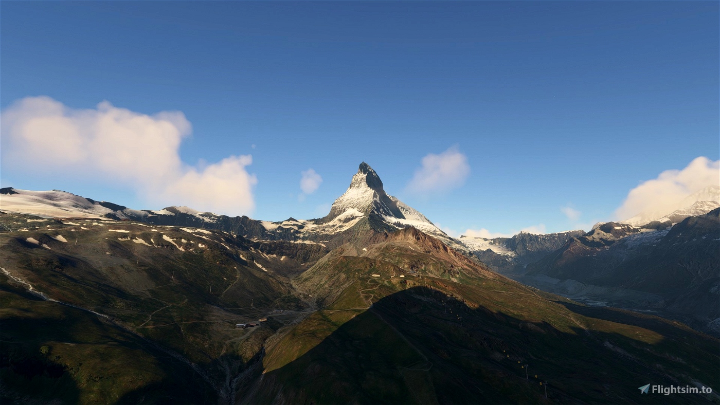
I have downloaded your Swiss scenery and am bowled back by the improvement that it makes to the default scenery. I have flown around Zermatt and to the Rhone glacier and am very impressed since I know the areas quite well. The mountains are much more realistic as are the rock faces and glaciers. I also tried the DEM scenery as a comparison but must say that the CGL is much better. Although the DEM is also an improvement on the MSFS2020 default scenery, your version of the landscape is much more realistic. Well done and very many thanks. I’m curious to see any future updates
3 years ago
AlexSeymour
hi i make 2 screens near Geneva there buildinds disapear
https://goopics.net/i/NlLQg with your CGL
https://goopics.net/i/Plgyq without your CGL
i got same thing with the FSdream swiss Mesh 20 or 10 Meter
but your work is great and thank you again
3 years ago
Oh wow. Totally not what I expected but very interesting (even just to see this complex).
So here's my hypothesis:
There is a maximum variation in elevation within the foundations of a building that is considered plausible/acceptable for the placement of the building. According to google maps (photogrammetry of geneva) the underground of the Lignon-Complex varies by as much as ~8 Floors - which is hardly noticeable given the sheer length of the whole thing - but the plausibility check doesn't seem to take the length into account. So while the default mesh (as we know) flattens the topography, the correct DEM pushes this check over the limits.
I wonder if geneva is slated to be "photogrammetrized" anytime soon. Otherwise the Lignon would nearly merit its own landmark-model...
I'm assuming this is the only building where you observed this - or are there others?
(It's also interesting to note how other buildings change between the two images. The general outline, style and base color (although wrong) are maintained, while the actual model and textures seem to be chosen randomly)
3 years ago
SACrafters
karisma68
Thank you very much for this great work.
Merci beaucoup pour ce super travail
3 years ago
Ben79
This mesh is SUPERB!! Both, in terms of quality and speed! Thank you very much!
I tried all the other ones (pay ware like FSDT and free ones) and they were all a stutter-fest or unplayable on my 2.5 year old i7 CPU, even the 20 DEM. I use VR (HP reverb G2), 32GB RAM and a 2080Ti.
This one is smooth as butter. I'm blown away! This is definitely the way forward!
Please make one for Austria and the rest of the Alps! 😊
Of course I'm concerned how it will blend with all the pay ware airports... But CGL all the way!
3 years ago
With a i7 is not surprising it stutter need setting fine tuning
3 years ago
abbiati50
theother1
Thank you very much for this great work. I hope in time you will consider working on Africa, It would be interesting to see the landscape receive some attention.
3 years ago
Adecimbo
Let me thank you a lot, not for the scenery, I have not installed yet (however I am sure it looks beautiful) but even more on the clear, precise, structured and concise introduction page. At least I have some understanding of what I will be downloading.
May I express a desire? Can you do the same for the whole Alpes area covering, in addition to the Swiss alpes, the French, the Italian and Austrian alpes. This would be absolutely great.
Congratulation and keep the good work.
3 years ago
Samhaho
This is indeed the best mountain mesh I have ever experienced in MSFS. Thank you so much for the great work. Can you give us a map to show the boundary of this CGL area (quad 120221)? Does this conflict with BGL meshes that overlap with this one?
3 years ago
Hi, I'll try to create a coverage map.
As for coexistence with other (heightmap-based) meshes: I haven't tried it but there should be no problem. Quite likely the order of the folders doesn't even matter (between CGL and heightmap) because these meshes work on a different level.
3 years ago
SACrafters
yanlaoge
amazing work i flew a quick flight from zurich to milan and was gobsmack at the level of detail this mod produced, once again the community mods out play the big corp game makers, it must be embarassing when a community member creates a masterpeice in their spare time.
3 years ago
Thanks and glad you like it.
Mind though that I'm mainly using other peoples algorithms to assemble other people's data...
Also this is an early showcase. There should still be plenty of room for improvement. I'm mainly bothered by the little spikes that are generated by the bicubic filtering/upsampling in-game.
3 years ago
SACrafters
Funkster77
Fantastic Work!!!
Like everything from the hands of this master.
If you still pay for DME, it's your own fault,
especially since that would actually be Asobo / MS's job.
Big thanks to the maker .....
3 years ago
Night-owl Sam is trying to make me blush...😉
But remember that the airfields are a team effort now.
3 years ago
SACrafters
JazzSam